A CONTROL ROOM VIEW, ON THE MOVE
A CONTROL ROOM VIEW, ON THE MOVE
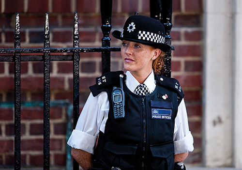
xMobile is a brand-new Android application that gives you a control room view of operations on the go. And with its user-friendly interface, it offers a seamless experience, empowering officers with situational and spatial awareness at their fingertips.
A complimentary addition to the current GIS “x” suite of products, xMobile expands the Force’s ability to share and receive data with officers, wherever they may be.
Designed and developed in partnership with our police customers, xMobile supports operational activities in a way that hasn’t been possible before.
WHAT MAKES xMOBILE DIFFERENT?

Available in your Force’s Google Playstore for users to download
Offers offline capability in areas of poor network coverage
UI is optimised specifically for mobile phones. By using vector icons/graphics
we enhance performance and appearance for a better user experience
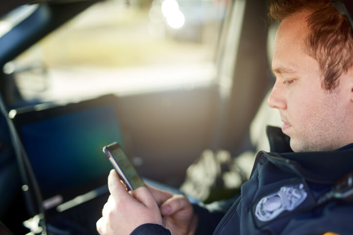
Use of native phone functionalities such as GPS, Messaging etc
Gives the ability to create, collate and share information collected in the
field in multiple ways
Integrates with Force Control Room to allow users to have a spatial view
of real time resource and incident data
Shares data created from desk-based staff with field officers to assist
with response
Works with multiple third-party data feeds including Ordnance Survey,
OpenStreetMap and what3words
Has the ability to accurately record and review the location of events
Locate yourself on a map; GPS and background map are still available
when network coverage is limited
Know the ground covered by recording the route you have travelled
Partnering with NEC Software Solutions
- With 35 years’ experience in policing software, we work with every force in the UK
- Our GIS ‘x’ product suite supports 23 forces with their operational needs
- Direct feedback from forces have played a key role in developing xMobile, including North Yorkshire Police